East Bearskin Lake Route
| Difficulty levels |
Easy to moderate. Mostly small lakes. |
| Route Times |
3 to 5 days |
| Lakes |
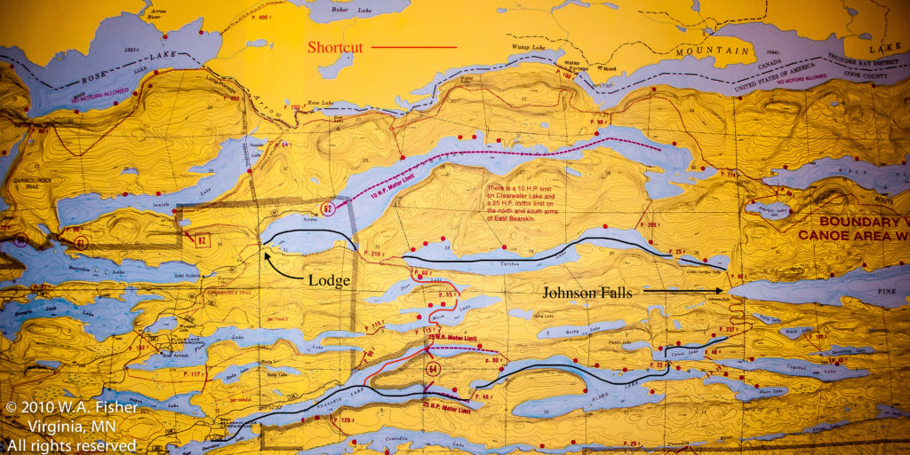
East Bearskin, Alder, Pierz, Canoe, Crystal, Paddle, Moon, Deer, Clearwater |
| Entry Points |
#64 (5 miles from Clearwater Historic Lodge) |
| Route Highlights |
Fishing, wildlife, waterfall. |
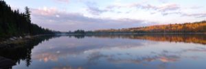 The lakes on this route are very popular with base campers. They are small and loaded with fish. Walleye, Bass and Northern Pike are plentiful. A side trip to Johnson Falls is popular on this route. Wildlife viewings are common. You can take this route and return to Bearskin for pick-up or paddle right back to Clearwater Lodge. If you would like to hear more on this route you can listen to a podcast about it here: Tumblehome-A Boundary Waters Podcast-East Bearskin Lake Route
West Bearskin Border Route

| Difficulty levels |
Easy – Larger-sized lakes. Fewer, shorter portages |
| Route Times |
3 to 4 days |
| Lakes |
West Bearskin, Duncan, Rose, Rat, South, North, Gunflint |
| Entry Points |
#58 South Lake or #60 Duncan Lake |
| Route Highlights |
Rose Falls, Height of Land Portage, access to border Route Trail, excellent smallmouth bass fishing, seasonal lake trout fishing |
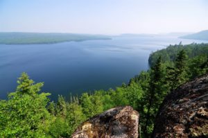 Rose Falls is always a popular stopping point on this route, and the cliffs above the falls should not be missed. If you want to hike you can take the Border Route Trail and explore old cedar groves or other overlooks into Canada. Duncan Lake, Rose Lake and South Lake are all good Smallmouth Bass lakes. South Lake is usually very quiet and has a quintessential remote BWCA feel. If you paddle this route you will have a chance to portage the historic Height of Land Portage where early Voyageurs had their initiation ceremony. Many people like to base camp on Duncan Lake or Rose Lake. North Lake offers great Lake Trout fishing in the spring, and the waters flowing between Little North and Gunflint Lakes are consistently filled with Walleyes. We recommend this route be traversed West to East, as winds from the West can make treacherous travels on Gunflint and South Lakes.
If you would like to hear more about this route check out our podcast here: Tumblehome A Boundary Waters Podcast- West Bearskin Border Route
Poplar-Ram Route
| Difficulty Levels |
Moderate — Smaller-sized lakes. The difficulty will depend greatly on which exit point you choose. |
| Route Times |
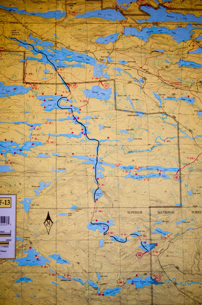
2 to 3 days – Approximately 11 miles |
| Lakes |
Poplar, Lizz, Caribou, Horseshoe, Vista, Misquah, Little Trout, Rum, Ram |
| Entry Points |
#47 (20 minutes by shuttle van) |
| Route Highlights |
Excellent fishing, smaller secluded lakes |
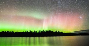 If your idea of a great time is fishing in the morning, fishing in the afternoon, and fishing in the evening this is the route for you. It is one of the better Walleye and Pike fishing areas on the trail. Heading even further in will reward you with better wildlife options since most of the terrain is flat and has some marshland, which is favored by animals like moose There are many options for both base campers and migrant campers. There are several exit points for this route. If you aren’t able to get a permit for this entry point we can put you in at Bower #43, Ram #44, Morgan #45, Meeds #48 or Skipper & Portage #49. Exit points can be any of the above mentioned entry points or Brule, Missing Link or Cross Bay.
If you would like to hear more on this route listen to our podcast here: Tumblehome A Boundary Waters Podcast-Poplar to Ram Route
 The lakes on this route are very popular with base campers. They are small and loaded with fish. Walleye, Bass and Northern Pike are plentiful. A side trip to Johnson Falls is popular on this route. Wildlife viewings are common. You can take this route and return to Bearskin for pick-up or paddle right back to Clearwater Lodge. If you would like to hear more on this route you can listen to a podcast about it here: Tumblehome-A Boundary Waters Podcast-East Bearskin Lake Route


 Rose Falls is always a popular stopping point on this route, and the cliffs above the falls should not be missed. If you want to hike you can take the Border Route Trail and explore old cedar groves or other overlooks into Canada. Duncan Lake, Rose Lake and South Lake are all good Smallmouth Bass lakes. South Lake is usually very quiet and has a quintessential remote BWCA feel. If you paddle this route you will have a chance to portage the historic Height of Land Portage where early Voyageurs had their initiation ceremony. Many people like to base camp on Duncan Lake or Rose Lake. North Lake offers great Lake Trout fishing in the spring, and the waters flowing between Little North and Gunflint Lakes are consistently filled with Walleyes. We recommend this route be traversed West to East, as winds from the West can make treacherous travels on Gunflint and South Lakes.
 If your idea of a great time is fishing in the morning, fishing in the afternoon, and fishing in the evening this is the route for you. It is one of the better Walleye and Pike fishing areas on the trail. Heading even further in will reward you with better wildlife options since most of the terrain is flat and has some marshland, which is favored by animals like moose There are many options for both base campers and migrant campers. There are several exit points for this route. If you aren’t able to get a permit for this entry point we can put you in at Bower #43, Ram #44, Morgan #45, Meeds #48 or Skipper & Portage #49. Exit points can be any of the above mentioned entry points or Brule, Missing Link or Cross Bay.